Canofi is a research project that investigates the use of panoramic imagery to retrieve vegetation stuctural parameters such as the Leaf Area Index (LAI).
The initial goal was to apply LAI theory and software developed for fish eye camera systems to panoramic imagery collected using small drones & flown within forest canopies.
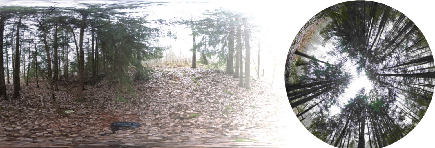
To do this requires a method to convert panoramic imagery to a fish-eye projection. One such method is implemented in the Canofi web app. You can use the app to convert spherical panoramas to hemispherical imagery and estimate LAI. You don’t need a drone to collect a 360 panorama; your phone is probably capable via the Google Street View app.